Matt: Well we're going to start the old telegraph track.
Me: The what?
Matt: *forehead slap*
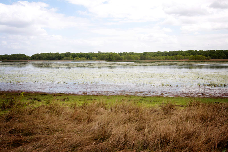
And so we began the Overland Telegraph Line track, or the OTL - apparently the holy grail of four wheel driving...and I had no idea until I was actually on it. But now I know. It's a big deal.
 |
| Starting the OTL at Bramwell Junction roadhouse |
Only a few kilometres in and you hit the first creek crossing, which also happens to be the worst - Palm Creek. When we arrived Pat Callinan (Mr 4x4 himself) was there filming for his TV show so there was a few vehicles about, as well as some people that just come to sit and watch people get stuck! Seriously, had their chairs and beers out ready and everything. Two vehicles were coming the other way, a near impossible task without winching out so we watched them winch themselves out amidst lots of noise and smoke and 4WD-heads getting excited, me just hanging out with Pat Callinan's photographers!
A few other vehicles went ahead of us, including Mr 4x4, and then it was Luxie's turn. A bit hairy in parts but not an overly difficult manoeuvre (so I'm told), just the chance of vehicle damage as you slip into a bit of a hole and roll to the passenger side. Our damage was the paint ripped off the passenger toolbox on the bank and our sidebars rubbed also. Nothing to write home about.
 |
| The Palm Creek crossing entry |
 |
| Luxie getting into the OTL spirit |
 |
| Bit steep... |
 |
| Luxie on the left, Pat Callinan's vehicle on the right |
Onwards we forged through a few more easy crossings which Matt walked first (captain cautious, and a good thing too) before we camped for the night near an old water gauging station on the Dulhunty River. The next morning we crossed over the Dulhunty, very nice camping and a little waterfall at the crossing. The next three or four creeks we crossed were idyllic - I can't even describe how crystal clear the water was and the colour of the rocks and the formations made on the riverbeds. Our country is full of beauty.
 |
| My feet in the clear waters of the Dulhunty River |
 |
| Crossing the Bertie Creek |
 |
| Me at the Dulhunty River crossing |
As much as I didn't know about the OTL before actually commencing it - I definitely didn't know about 'Gunshot', although it did ring bells from some of Matt's old 4WD magazines. The Gunshot Creek crossing is infamous as one of the best/worst waterway crossings in Australia to attempt/achieve if you are a mad keen 4WD nut. Fortunatly when we were there there was a much easier track around to the left which was not a problem at all, so now Matt can confidently say he survived crossing Gunshot! Albeit not the ridiculous vertical drop off's and wash out's Gunshot is actually famous for. The creek itself was so very pretty, I paddled around in it whilst Matt talked 4WDing with some other travellers.


After Gunshot Creek the country changed into open plains and heathland - what they call 'the dry desert'. There is an abundance of water, but not much nutritional feed. Subsequently, Heathlands Station which was set up in the 1960's by mining company Comalco was a dismal failure. Huge termite mounds abound and the odd telegraph pole along the track.

We made the decision to detour 23km to the ranger station and book a campsite, do the right thing, be responsible campers and all that. Well, 23km on the most corrugated road known to man, arrive at Heathlands Ranger Station and nobody is there, use the online kiosk to book a campsite and they're all booked out! Back we trundle the 23km of rough track, mightily peeved and teeth chattering all the way.
 |
| The Heathlands Ranger Station |
Cockatoo Creek crossing was next where we had lunch, another beautiful creek and who should come crossing through but the ranger himself. Chatted to him while I made sandwiches, told us there were a few crocs upstream so don't go for a swim!
 |
| Matt moving some rocks in the Cockatoo Creek to cross it more safely |
 |
| Luxie crossing Cockatoo Creek |
Continuing on we came to one of the most popular spots on the whole of Cape York - Fruitbat Falls. This part of the OTL is accessible from the bypass roads so a lot of people come in a go for a swim. We arrived at about 4.30 in the afternoon though, a few people were just leaving and we had the place to ourselves! I can assure you that Fruitbat Falls to yourselves is a rare sight indeed, we were very lucky.


After our swim we pushed on to Canal Creek and set up for the night at the free camping site on Aboriginal land - yet another beautifully crystal clear waterway, although the constant traffic here at this popular spot had eroded the banks and there was a mess of tracks everywhere. The next morning we headed up to Eliot Falls for another swim, just nearby is Twin Falls on the Canal Creek, another popular tourist spot which has a few people swimming there so we walked around the corner to where the Canal flows into the Eliot. Nobody there and beautiful deep swimming hole in the creek. Matt jumped off the four metre bank and couldn't touch the bottom if he tried. Beautiful spot.
 |
| Bombs away! |
 |
| Swimming in the Eliot Creek |
 |
| Eliot Falls |
From our campsite on the Canal Creek we walked upstream and found amazing rockpools which were begging us for another swim. The formation of the rocks was incredible, a maze of mini-waterfalls making their way slowly down to the main creek and in between creating deep holes and ledges for you to sit at. Matt kept jumping off things, I worshipped the sun. Life is good.


From Canal Creek we kept heading north on the OTL - we had heard everyone saying that Nolan's Brook was the tough one, and most were not attempting it. We thought we'd go and have a look and if we didn't like the look of it we could turn back and head to the bypass road. Well we crossed a few creeks no worries, then got to Cannibal Creek...after scratching his head for awhile Matt declared that we could get down it no problem, but if we had to come back up it if we didn't like the look of Nolan's Brook we would be winching out. Great. We camped at the top of the creek crossing to sleep on it and make a decision in the morning. Of course, we decided to 'give it a crack' as per usual, and in all the excitement I didn't take any photos! Oops.
But it was Logan Creek which actually became the problem. A steep little drop into the creek which looked simple enough (this creek was a bit deep so Matt tarped the front of Luxie). He then proceeded to not look at what he was doing and ram Luxie up hard against a tree stump, rendering him totally motionless as we couldn't go forward and we couldn't go back up the steep bank. Out came the axe and a very hot and sweaty Matt cut through the tree, eventually.


Finally we came to Nolan's Brook on Bridge Creek, the very last creek crossing on the OTL - the last frontier! Of course Matt saw this as a massive challange. All we had to do was cross Nolan's and we'd done it, the entire OTL. We arrived with Matt saying he was 90% sure he wouldn't cross it, one walk across it (water up to his belly button, his' 6'4") and I could see the glint in his eye. We were going to cross it. And I was doing signs of the cross left right and centre praying we wouldn't flood poor Luxie.
Out came the tarp again, we cut holes in it for the aerials to make it more watertight, Matt sprayed everything under the bonnet and I let the tyre pressures right down to 18 psi (very soft sand on the bottom of this creek, which was mostly the problem). Matt walked and re-walked the crossing, choosing his best line whilst also chatting to people camped there who told us 50 vehicles had been pulled out of Nolan's this year. Great. And then we did it, well Matt did, I stood and took photos and prayed he'd keep moving towards me.
 |
| Matt walking Nolan's Brook |
 |
| The motorbike bridge at Nolan's Brook |
 |
| Luxie crossing Nolan's Brook - we did it! |
And then on the other side the bloke who had been ready and waiting with a snatch strap to pull us out if needed, came up and shook Matt's hand and said "You've done the whole telly track!"Oh yeah, we thought. We had, not many do, but we did and it was awesome. A huge tick off Matt's bucket list I'm sure, and mine and I didn't even know it!
Only a short drive from Nolan's Brook through open sandy country and you reach the Jardine River, the official end of the telegraph line. It is now highly recommended you don't cross the Jardine and catch the ferry instead. People try though, and it looks easy enough, fairly hard bottom, not too deep. The trouble seems to be the distance and the swampy part of river on the north side. Oh and apparently the Jardine is infested with giant crocs. Other than that, you'll be fine ;)
 |
| The vehicle crossing of the Jardine River |
 |
| Driving towards the Jardine |
And so we did it. We weren't sure whether we'd get all the way, but we were sure we'd give it a red hot go! So glad we did, definitely one of the highlights of our honeymoon so far. It is such a beautifully unique part of our country and we felt so blessed to be able to enjoy it in our own time and pace.
We crossed the Jardine on the ferry and kept pointing Luxie in one direction: north to the Tip...